
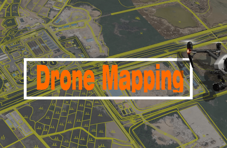
Drone Mapping Expert Course That Anyone Can Easily Learn
GIS spatial information can be utilized effectively, and orthophoto maps can be created using images captured by drones. Digital topographic maps and GIS-related thematic maps can be produced using orthophoto maps.
Dron
Dron
GIS
GIS
QGIS
QGIS
News
No published news.