
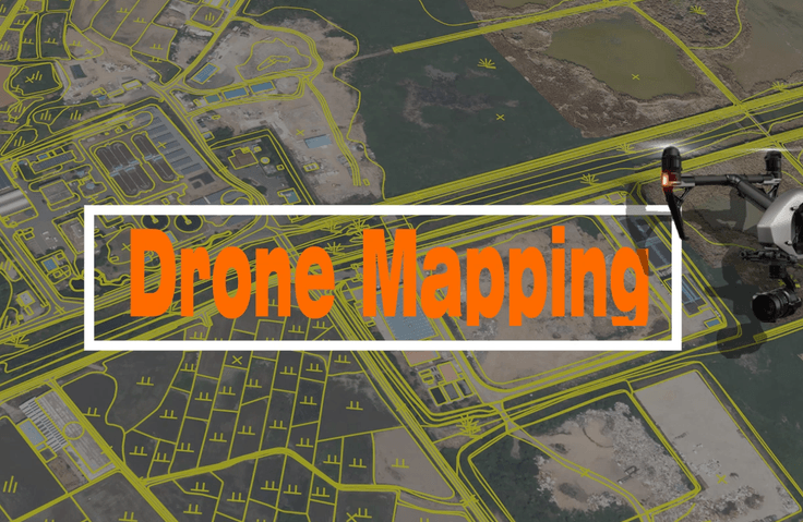
Drone Mapping Expert Course That Anyone Can Easily Learn
GIS spatial information can be utilized effectively, and orthophoto maps can be created using images captured by drones. Digital topographic maps and GIS-related thematic maps can be produced using orthophoto maps.
Dron
Dron
GIS
GIS
QGIS
QGIS
Want to know what questions other learners frequently ask?
- Resolved
드론 사진 촬영 후 처리
안녕하세요.GCP 실습을 개인적으로 해보고자 하는 데요개인적으로 주변을 드론 촬영 후 선생님 강의처럼 G
드론-개발qgisGISsoul42318017
・
0
183
2
- Resolved
안녕하세요. 파일 메일 요청 드립니다.
선생님, 안녕하세요! 압축파일이 계속 오류가 뜹니다^^; 죄
드론-개발qgisGISsoul42318017
・
0
88
2
- Resolved
gcp파일 문의드립니다.
선생님, 안녕하세요! gcp 파일은 어떤 경로로 생성이 되나요? <p style="text-align:
드론-개발qgisGISsoul42318017
・
0
166
2